The 150th anniversary of the Carta General del Archipiélago Filipino was formally marked this week through a commemorative release by the National Historical Commission of the Philippines (NHCP), bringing renewed public attention to one of the most important cartographic documents in Philippine history. The milestone also highlights the pivotal role of Senior Associate Justice Antonio T. Carpio, whose work reestablished the map’s legal and national significance in contemporary maritime discourse.
Originally stamped 150 years ago by King Alfonso XII of Spain and María de las Mercedes, Princess of Asturias, the Carta General served as the official map of the Philippine archipelago during the Spanish colonial period. Its authority extended into the American era, where it was relied upon during the Treaty of Paris (1898) and later reaffirmed under the Treaty of Washington (1900)—the treaties that defined the full territorial scope of the Philippines.
As emphasized during the NHCP commemoration, the Carta General explicitly shows Bajo de Masinloc (Panacot or Scarborough Shoal) and the Kalayaan Island Group, then known as Los Bajos de Paragua, as integral parts of the Philippine archipelago. Their inclusion places these maritime features squarely within Philippine territory under international treaty law.
While the map itself had long existed in foreign archives, it was Justice Carpio who brought its relevance back into national consciousness, identifying the Carta General as a crucial historical and legal reference in defending Philippine maritime rights, particularly in the West Philippine Sea. His scholarship demonstrated that these claims are grounded in centuries-old documentation, not modern reinterpretation.
The map’s credibility is further reinforced by its recognition by the United States government, which issued four official editions between 1898 and 1902. It was also cited in a U.S. memorandum during the 1928 Islas Palmas arbitration, confirming its acceptance by both Spain and the United States as an authoritative representation of Philippine territory.
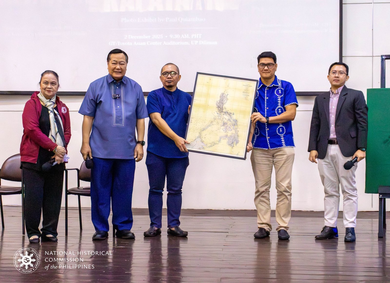
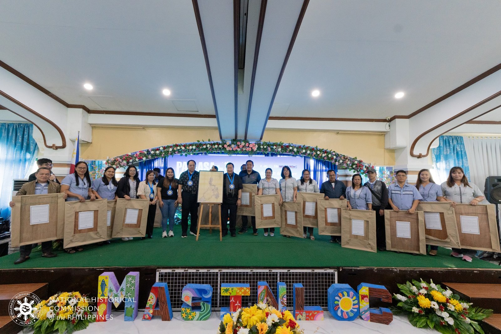
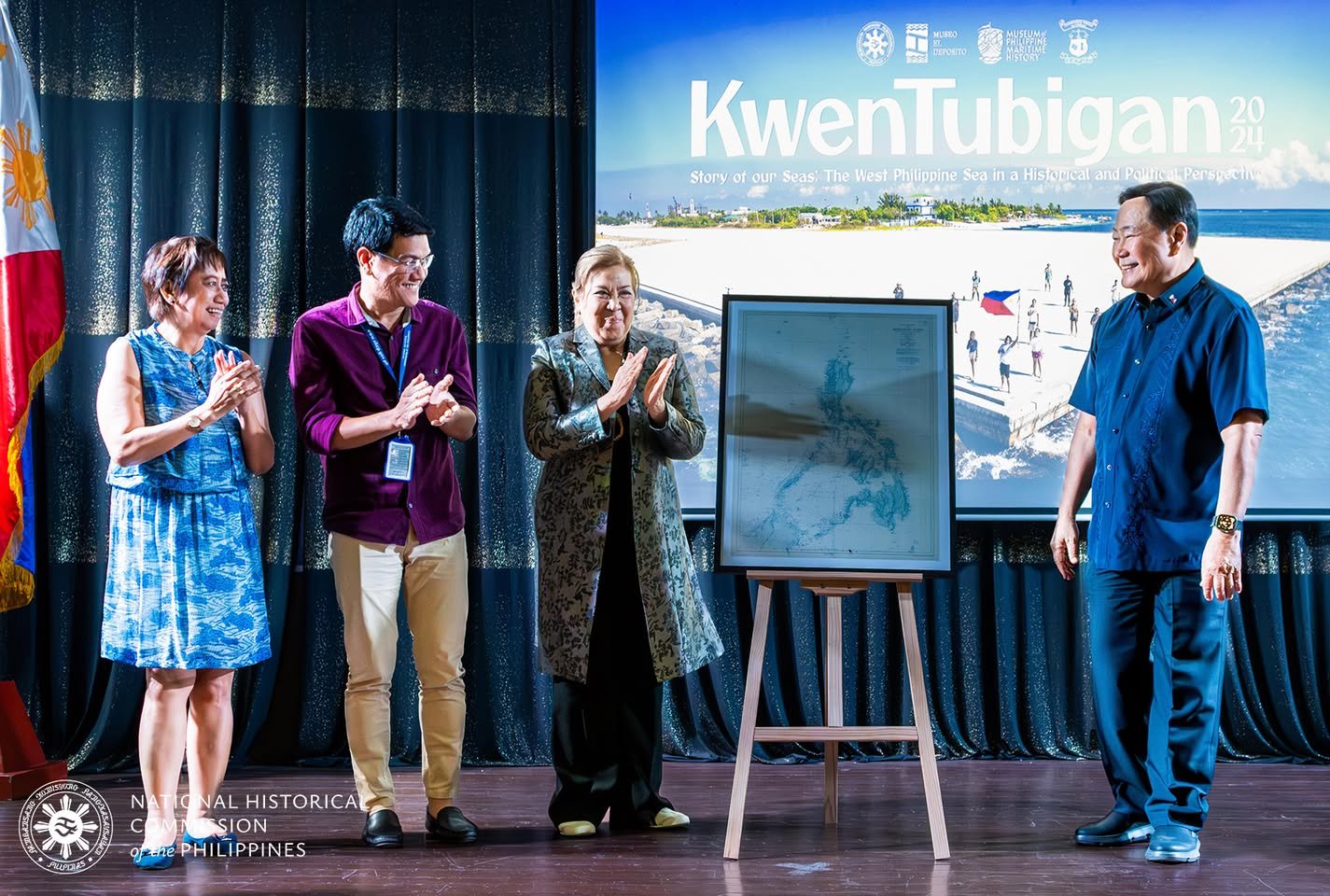
Although no original copy of the Carta General is currently known to exist in the Philippines, the NHCP noted that a replica now forms part of its “Pag-asa sa Gitna ng Kalayaan” traveling exhibit. In parallel, Justice Carpio and the Institute of Maritime and Ocean Affairs (IMOA) have led efforts to distribute copies of the map to government agencies, academic institutions, and libraries nationwide.
The NHCP commemoration situates the Carta General not merely as a historical artifact, but as a living document—one that continues to inform legal, diplomatic, and educational efforts today. One hundred and fifty years after its issuance, and amid ongoing maritime tensions, the map’s enduring relevance stands as a reminder that Philippine sovereignty is anchored in documented history, international law, and sustained public awareness.